Gallery
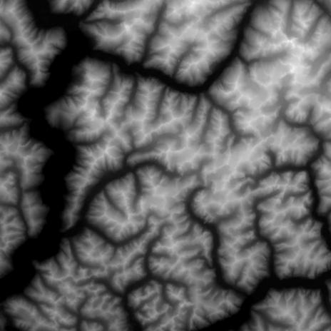
HeightMap Images
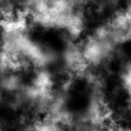
Here are 3 example heightmaps, in the next section you'll see these rendered in 3D

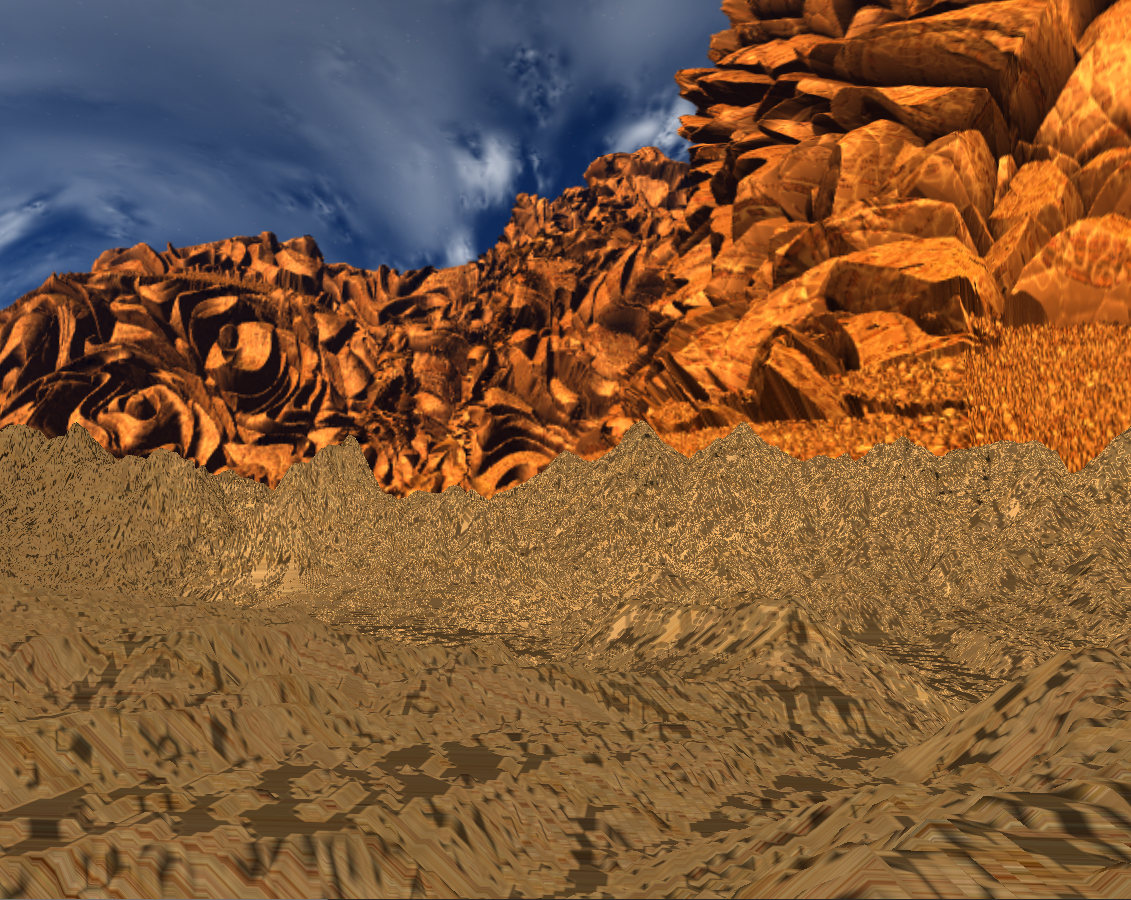
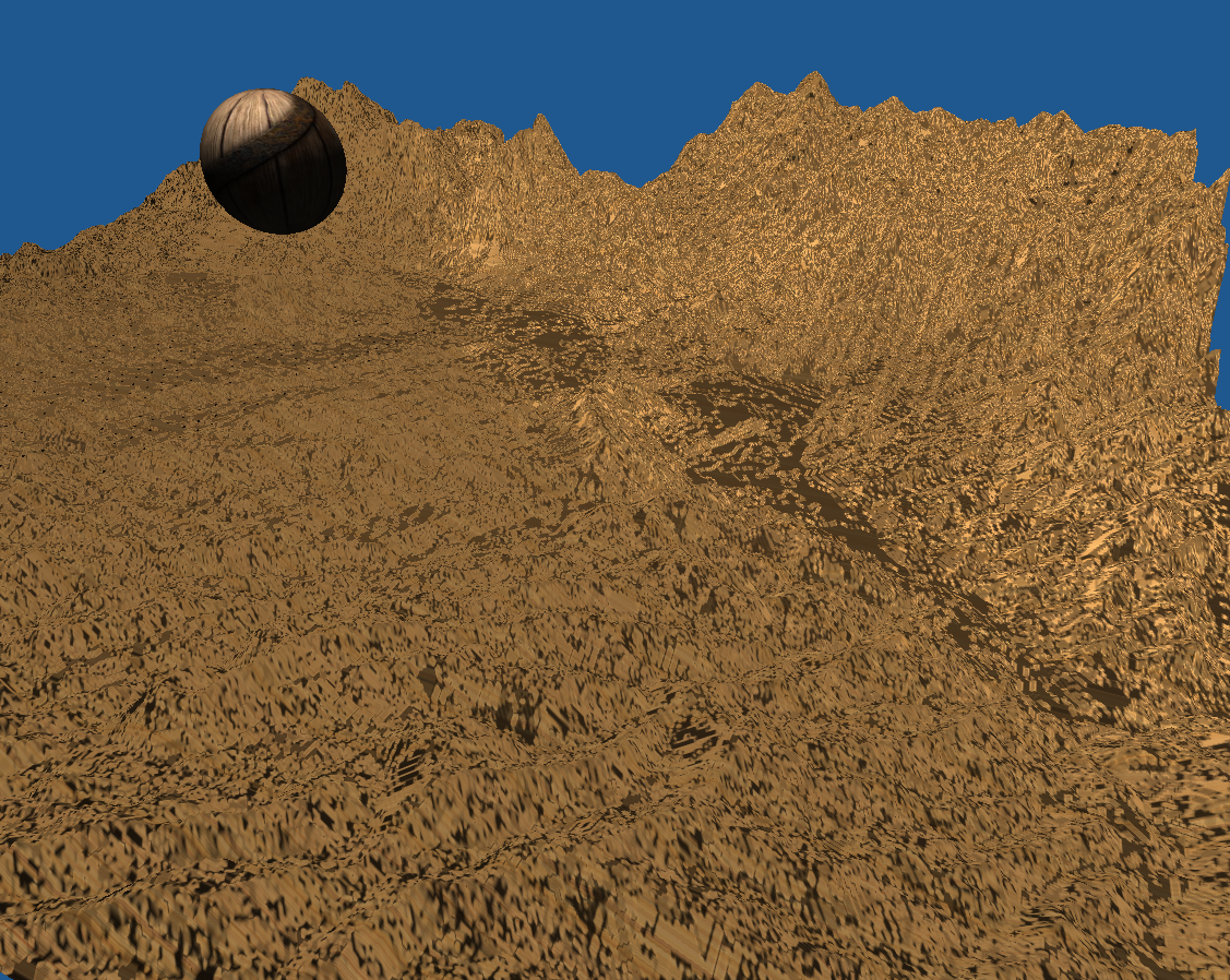
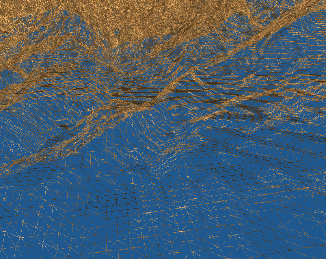
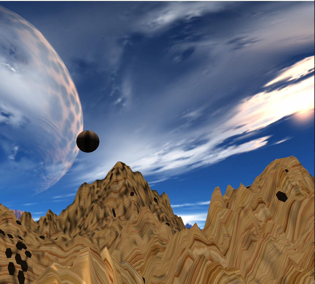
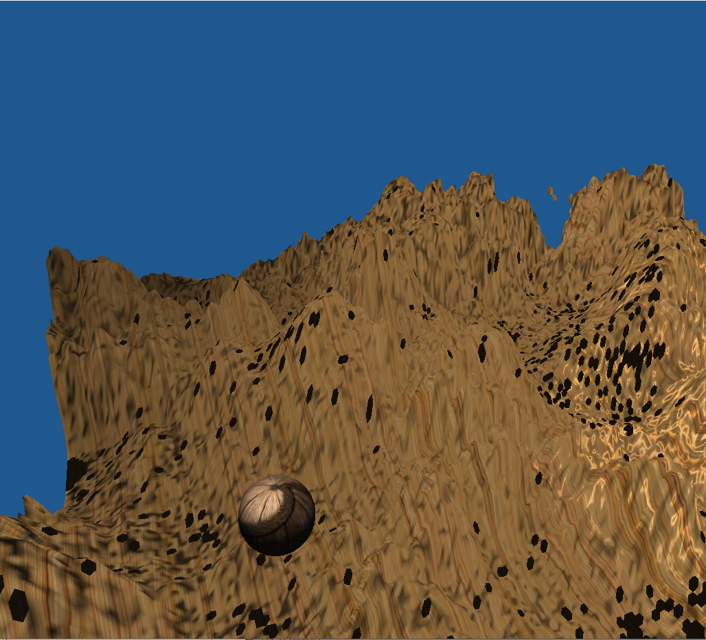
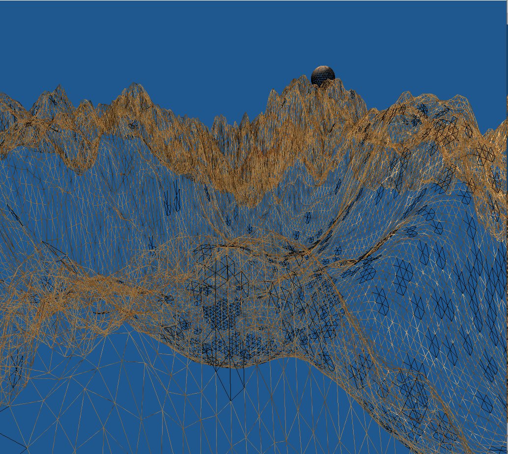
HeightMaps InEngine
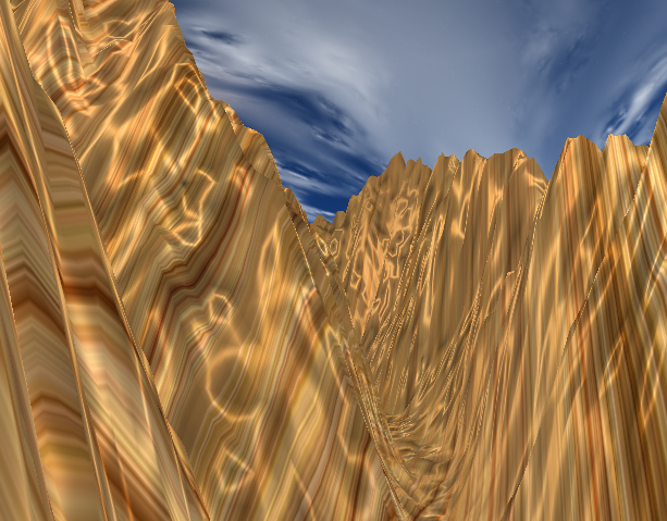
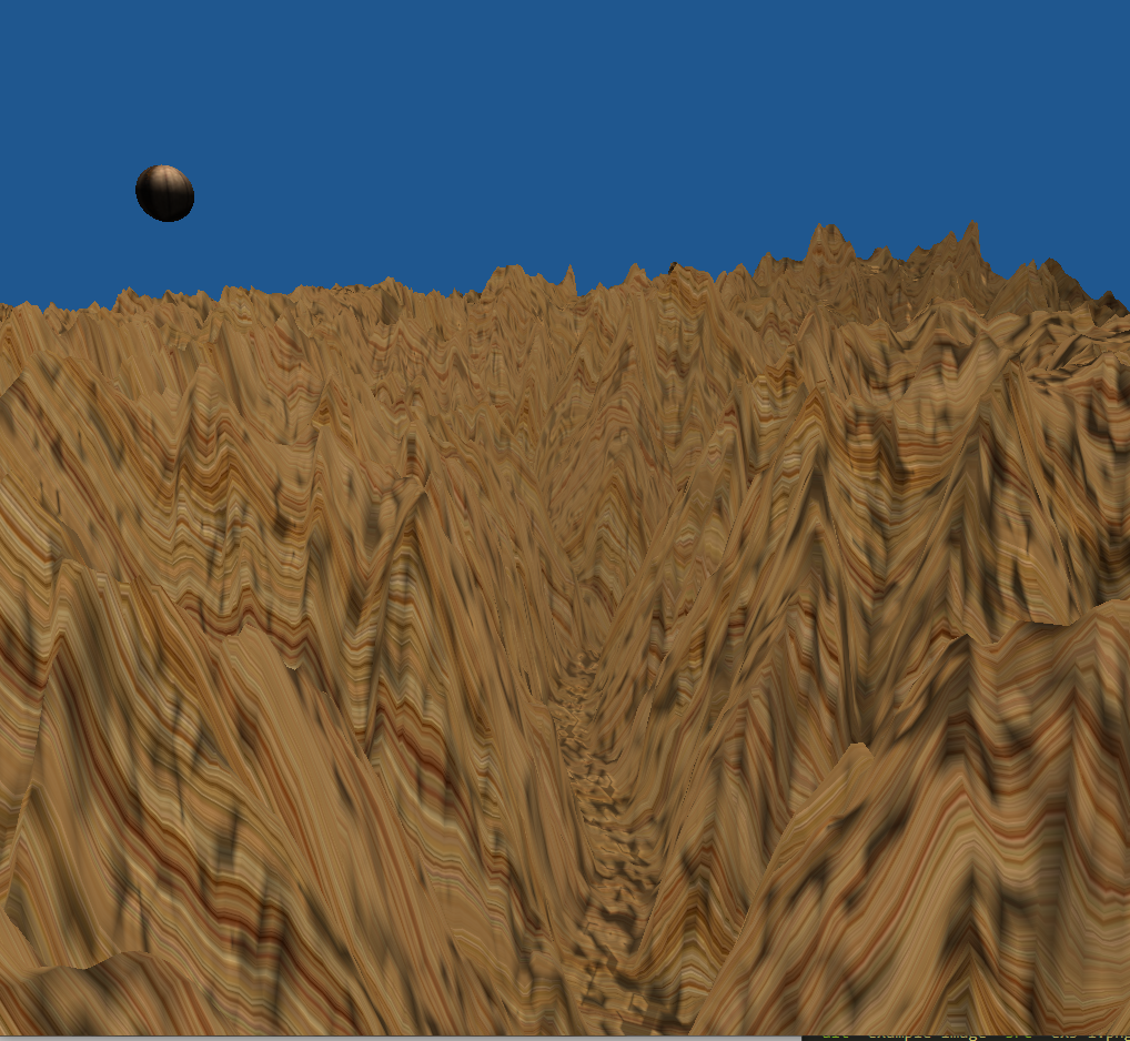
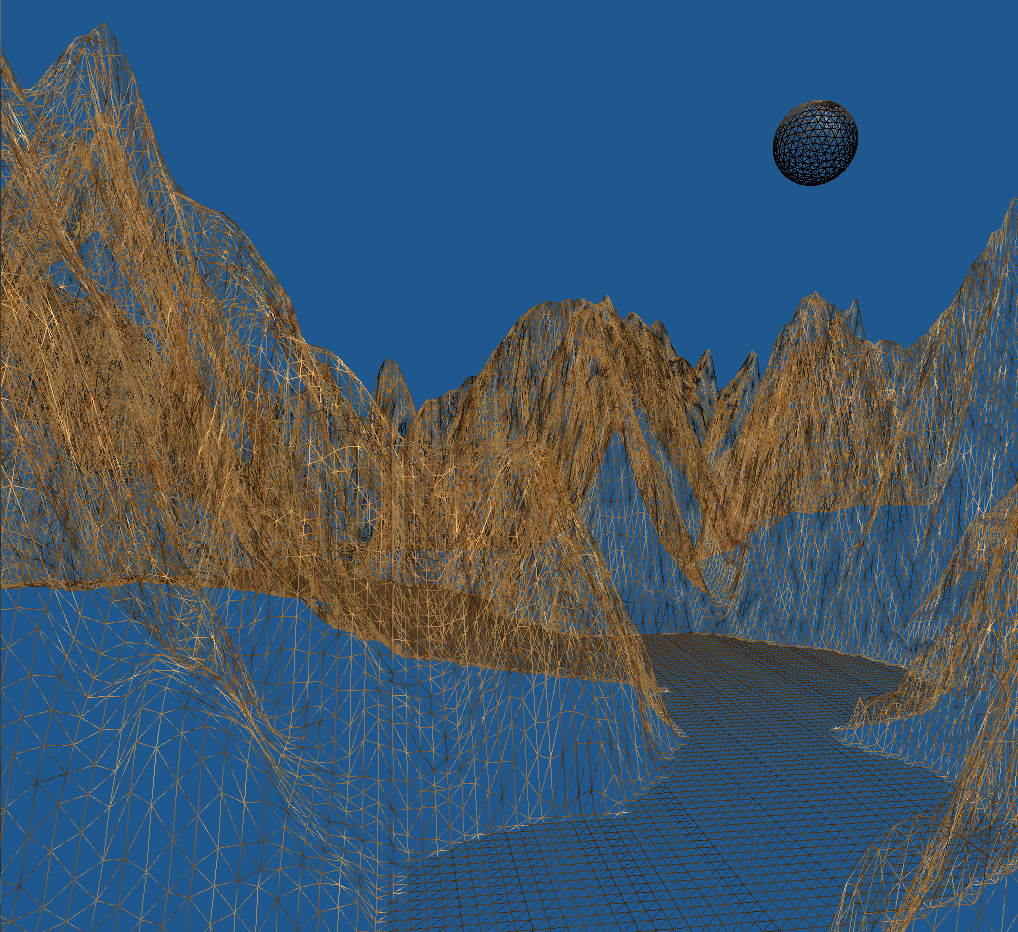
Here are those 3 heightmaps from these 3 perspectives:
- Walking Mode
- Flying Mode
- Wire Mesh
Renders of Map 1
Renders of Map 2
Renders of Map 3