
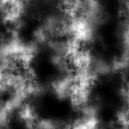
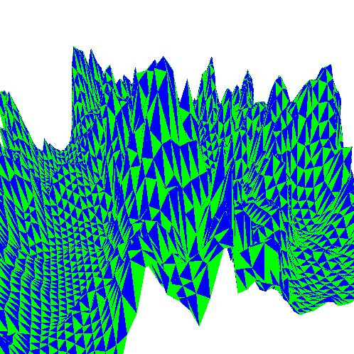
Terrain Generator is a simple program that takes an 8-bit greyscale TGA image file and uses it to generate some terrain.
The value of every other pixel in the image (must be 0-255) is taken to be the height at that particular coordinate.
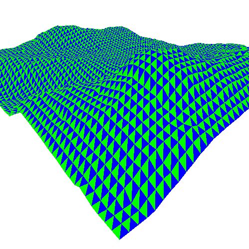
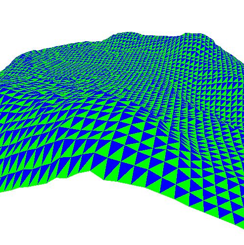
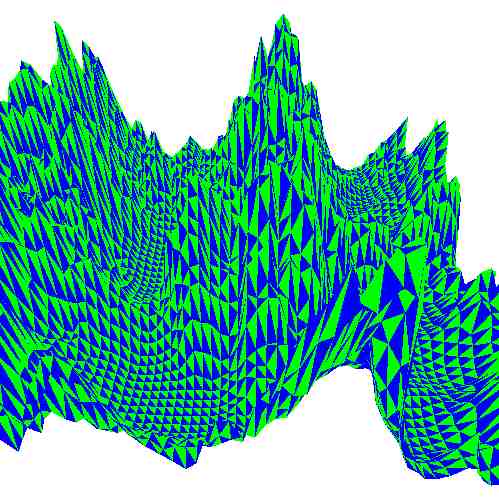
TG allows the user to move around the terrain in a 1st person manner.
Here are some sample screenshots: