Home
This site documents three archeological expeditions, the first occuring in August of 2006, the second occurring in February of 2008, the third occurring in March of 2009, and the fourth occurring in 2010. Details of the 2009 expedition can be found at the following blog.Details of the 2011 expedition can be found at the following blog.
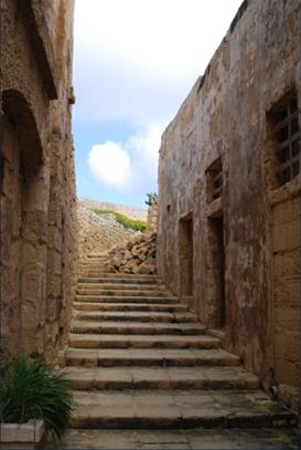
During these expeditions, investigators travelled to several cistern sites across Malta, Gozo, and Birgu. The goal of this project is to obtain video and sonar data that will help archeologists understand the evolution of water storage systems in Malta. The data obtained provides information that was previously unknown including the size, shape, and complexity of the cisterns.
To explore the selected ancient fortresses and gain this data, an observation class Remotely Operated Vehicle (ROV) was used. The ROV, a VideoRay Pro III, was equipped with camera and (in 2008, 2009, 2011) sonar. The robot was lowered down chutes until submerged in water. From that point, the robot could be driven through the cistern via joystick.
In 2006, there were no expectations of what would be found. It was often unclear if the VideoRay ROV would fit into some of the cistern openings, or how to remedy the situation if a micro-ROV got stuck deep within one of the submerged chambers. The team had expertise in archaeology, biology, and underwater operations. Some of the cisterns contain interesting artifacts, unusual construction, inaccessible passageways, living ecosystems, sediment layering and complex layouts that require further investigation.
The openings and entry chutes into these ancient underground flooded cisterns are much too small for most adult human beings. In fact most of cistern openings were just barely large enough for our micro-ROV to fit thru. While it is unclear exactly how old the cisterns are, many were estimated be over 2000 years old.
The exploration in 2006 was only visual. No sonar, manipulator or other sampling device was used. Of the many sites visited in 2008, 6 were mapped using various post-processing techniques including image mosaic, and robot Simultaneous Localization and Mapping (SLAM) algorithms. In 2009, 18 more maps were created from new sites visited. Also in 2009, a manipulator was used for retrieving items of interest. From the many hours of raw video data collected only a small edited portion is shown on this website. In 2011, the first 3D maps were created, and 28 more new sites were explored.
California Polytechnic State University
University of Malta