Site 1: Gozo Citadel - Turtle Display
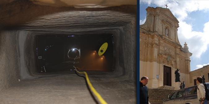
The part of the Citadel in which the access point was located was built in the 15/16th century. However, it is beleived that the cistern itself dates back to approximately 3rd centruy BC.
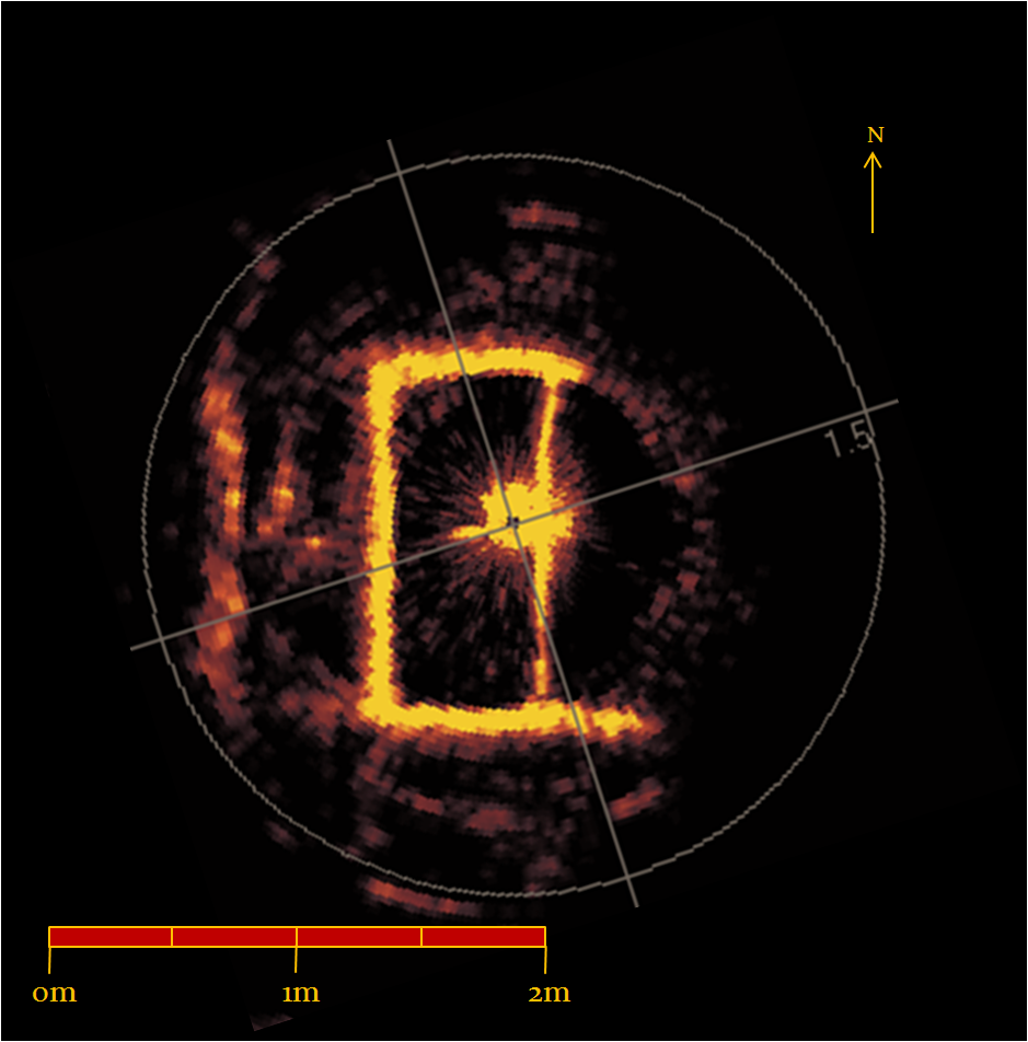
This cistern was approximately 30 feet below the access point. It incorporated a small angular chamber with what appears to be possibly two partially blocked downwardly angled passageways towards the bottom at either end. The debris blockage limited the robot from entering the passage. A short video of what the robot saw during the 2006 expedition can be found here. Footage from the 2008 expedition can be found here
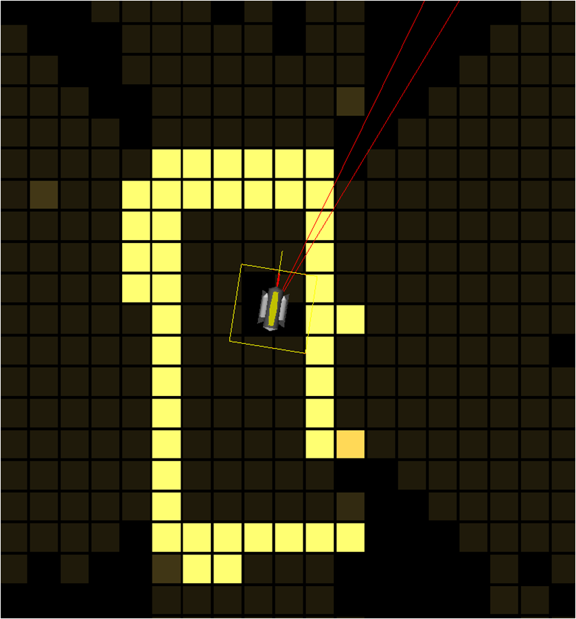
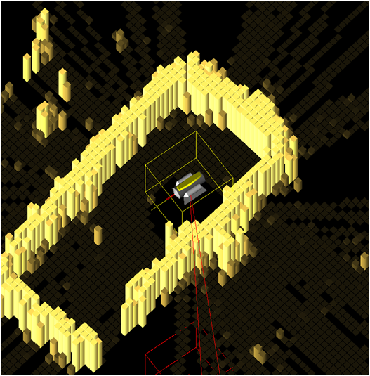
Shown below is the sonar data image, a top view of the mapped image (0.20m grid cell resolution) and a 3D view of the mapped image (0.05m grid cell resolution).


California Polytechnic State University
Marine Resources Development Foundation
