Malta/Gozo
Cistern Exploration Project
Site 17: St. Angelo's - Chapel Exterior
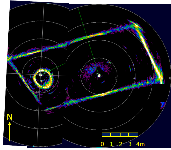
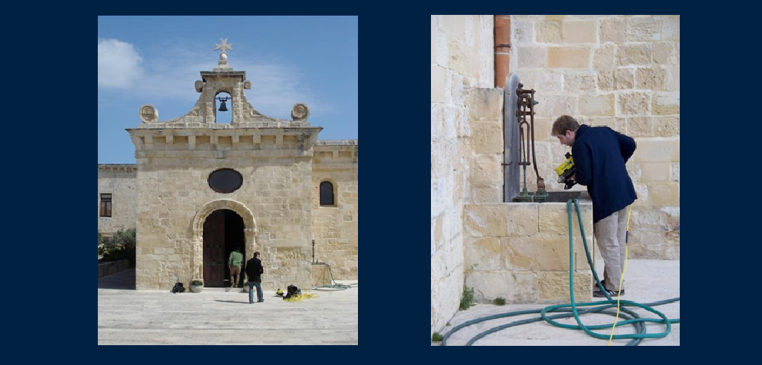
This cistern was located near the chapel of St. Anne with an access point built into the wall. Along the floor around the chapel there were stones with small holes to let the rain water collect in the cistern. With a little less then two feet of water, there proved to be just enough to navigate the Video Ray. The cistern had a rectangular/parallelogram shape and was about 12 meters in length and 6 meters wide. A short video of what the robot saw during the 2009 expedition can be found here.
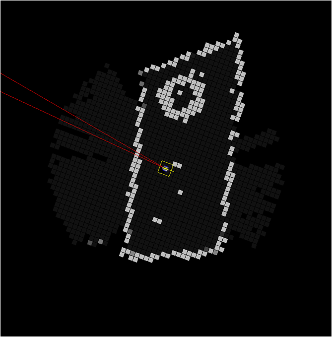
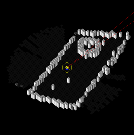
Shown below is the sonar data image, a top view of the mapped image (0.20m grid cell resolution) and a 3D view of the mapped image (0.05m grid cell resolution).


California Polytechnic State University
Marine Resources Development Foundation
